Budapest Ferenc Liszt International Airport (BUD)
Orientation and Maps
(Budapest, Hungary)
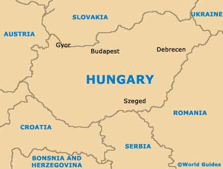
The city of Budapest was formed at the beginning of the 1870s and has a population approaching two million residents. Budapest is home to around 25 individual districts and is Hungary's capital. Located next to the Danube river, Budapest is the result of the amalgamation of three separate cities.
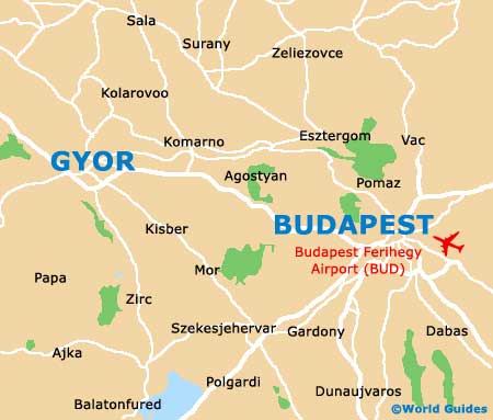
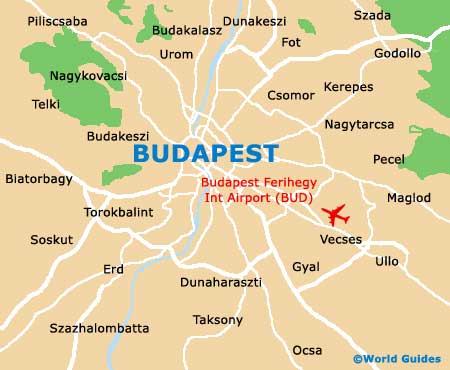
Standing to the south-east of central Budapest, Ferihegy International Airport (BUD) is the city's only airport and is amongst Hungary's biggest. Regularly serving in excess of eight million passengers per annum, Ferihegy Airport first opened in 1950 and has grown ever since.
Budapest Ferihegy Airport (BUD) Maps: Important City Districts
Budapest city centre is full of sightseeing opportunities and is otherwise known as the 5th District. Highlights here include the stunning Vasarcsarnok market hall, which dates back to the latter part of the 19th century and features a range of food and local souvenirs. The centrally located Castle District is a particularly historic part of Budapest and features a range of Baroque-style architecture, particularly along the Main Street, known locally as 'Fo utca'.
Nearby, the 6th District is home to a stunning boulevard and a number of prominent entertainment venues, such as Budapest's Opera House. This vibrant neighbourhood is at it busiest during the summer season, when many of the eateries feature alfresco dining areas along the pavements. Those looking for religious gems in Budapest should consider visiting the 7th District, the city's Old Jewish Quarter, where eye-catching synagogues have become major attractions in their own right.
Hungary Map
Budapest Map